USA – Country and State Boundaries in different projections plus a World Map
$19.95
Supercharge your presentations with this customizable US map set!
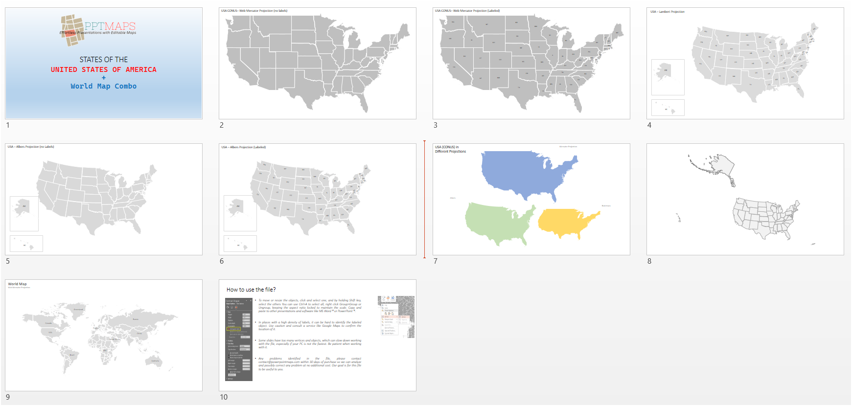
This comprehensive download includes 8 editable PowerPoint slides featuring the United States:
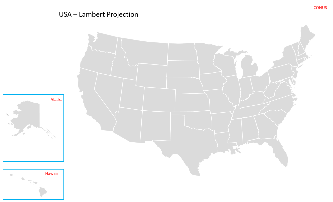
- Multiple US map projections (labeled & unlabeled): Explore Albers, Lambert Conformal Conic, and Mercator projections – perfect for highlighting specific geographic features.
- Detailed CONUS boundary maps: Choose from labeled or unlabeled versions for maximum flexibility.
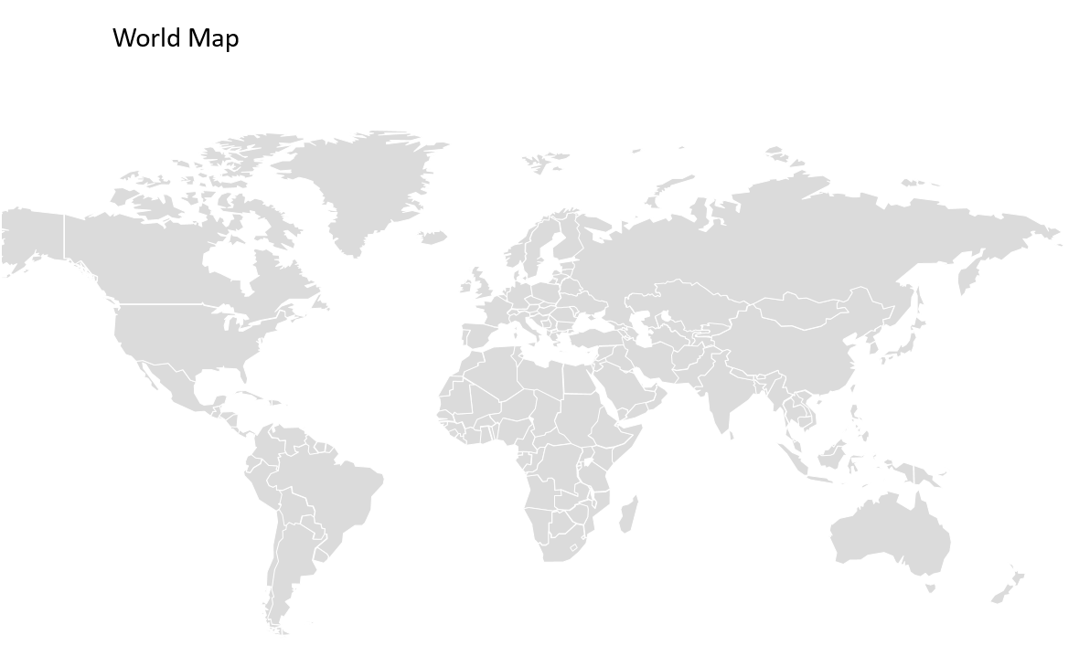
- Bonus: A world map (w/ limited labels): Gain context for your US data within the global landscape.
Everything you need for a visually impactful presentation!
- Download link delivered by email after payment confirmation (PPTX format).
- Full customization: Add your own data (labels, pins), modify shapes, and adjust border styles, colors, and thickness.
This US map set is the ultimate tool for creating informative and engaging presentations!
Download a free sample file clicking here and see how vector maps work
_____________________________________
When you receive your file, don’t forget to hit “Enable editing” in your PowerPoint to start editing it:![]()
Description
Supercharge your presentations with this customizable US map set!
This comprehensive download includes 8 editable PowerPoint slides featuring the United States:
- Multiple US map projections (labeled & unlabeled): Explore Albers, Lambert Conformal Conic, and Mercator projections – perfect for highlighting specific geographic features.
- Detailed CONUS boundary maps: Choose from labeled or unlabeled versions for maximum flexibility.
- Bonus: A world map (w/ limited labels): Gain context for your US data within the global landscape.
Everything you need for a visually impactful presentation!
- Download link delivered by email after payment confirmation (PPTX format).
- Full customization: Add your own data (labels, pins), modify shapes, and adjust border styles, colors, and thickness.
This US map set is the ultimate tool for creating informative and engaging presentations!
_____________________________________
When you receive your file, don’t forget to hit “Enable editing” in your PowerPoint to start editing it:![]()

Reviews
There are no reviews yet.